

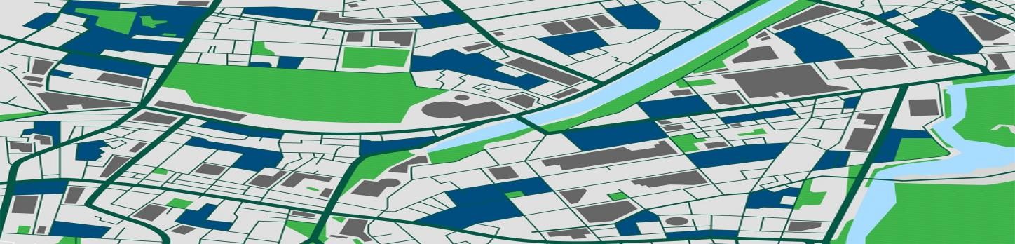
Geographic Information System | GIS Mapping, ArcGIS Services, GIS Remote Sensing, and GIS Data Conversions Services allow us to capture, store, analyze, and display geographic information through overlaying, merging, or joining spatial and tabular data layers.
Service
GIS Mapping & ArcGIS
GIS mapping, ArcGIS services, remote sensing, and data conversion.
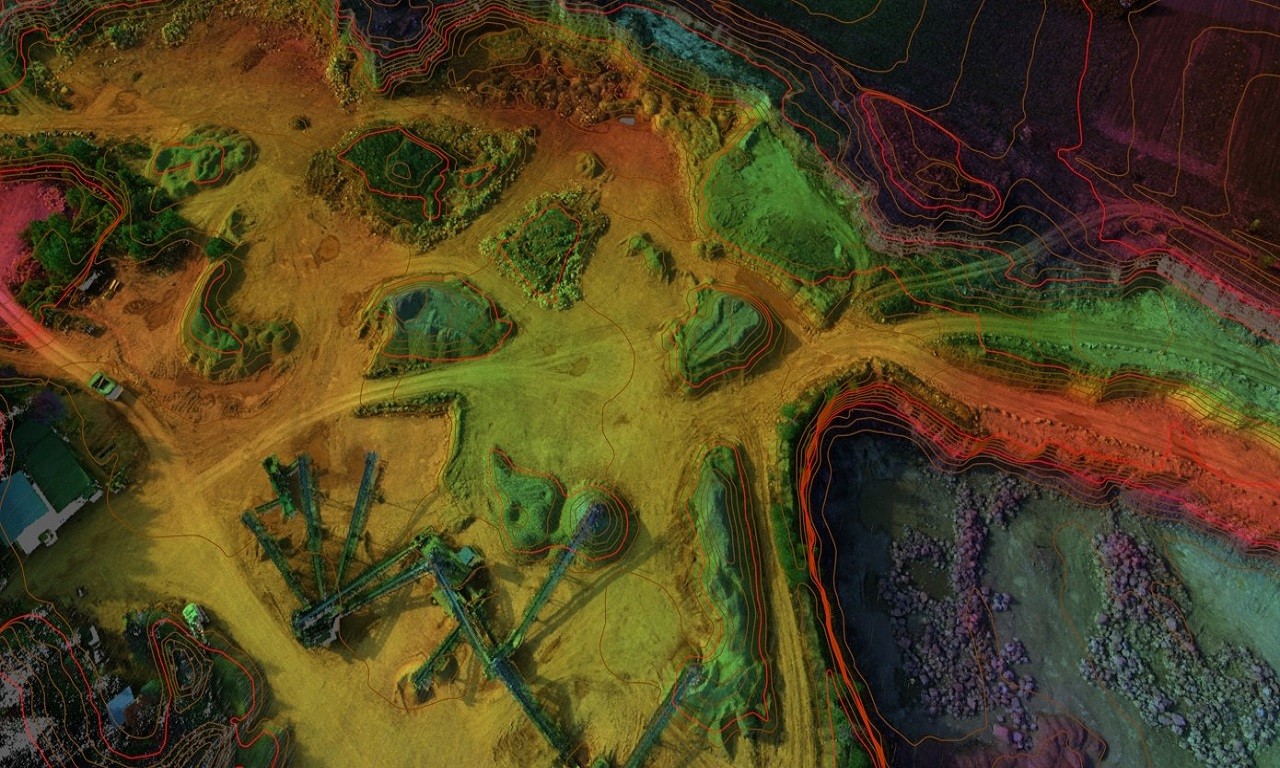
Related Services
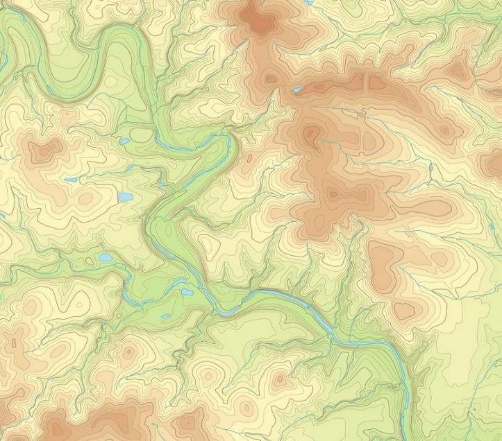
Topographic Survey & Land Mapping
Topographic surveys mapping terrain contours, utilities, and site characteristics.
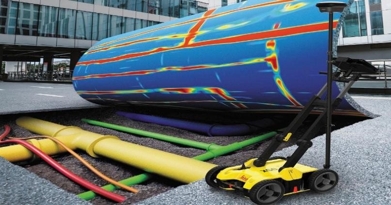
Geophysical Survey
GPR, ERT, VES, TDEM, MASW, and seismic reflection and refraction surveys.
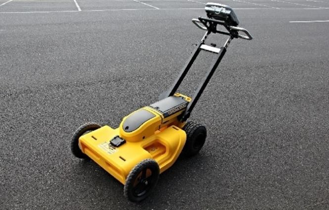
Underground Mapping & GPR
Utility detection, concrete scanning, cavity detection, and GPR survey services.
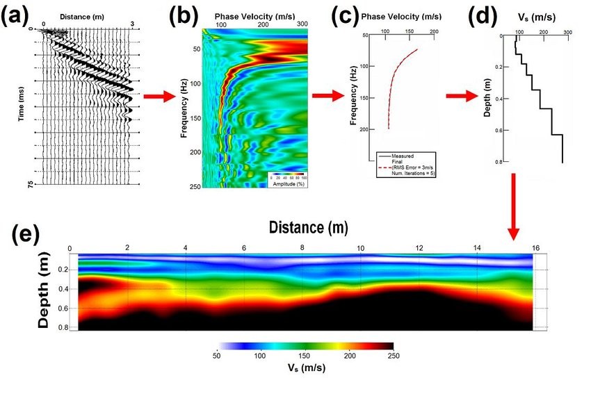
MASW Seismic Survey
Multi-channel analysis of surface waves for subsurface shear wave velocity profiling.