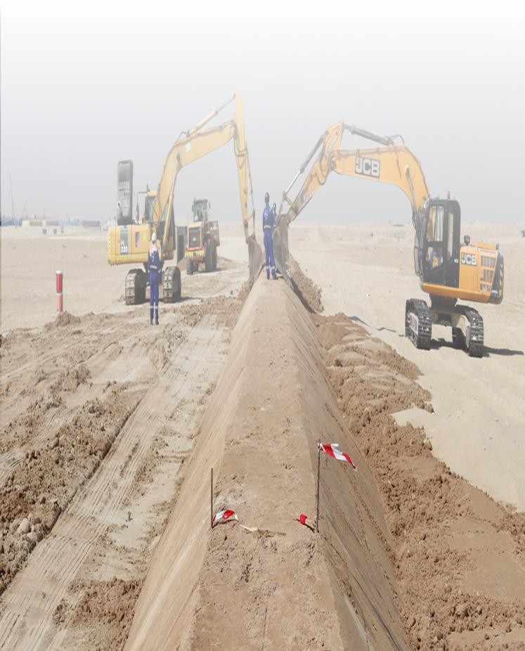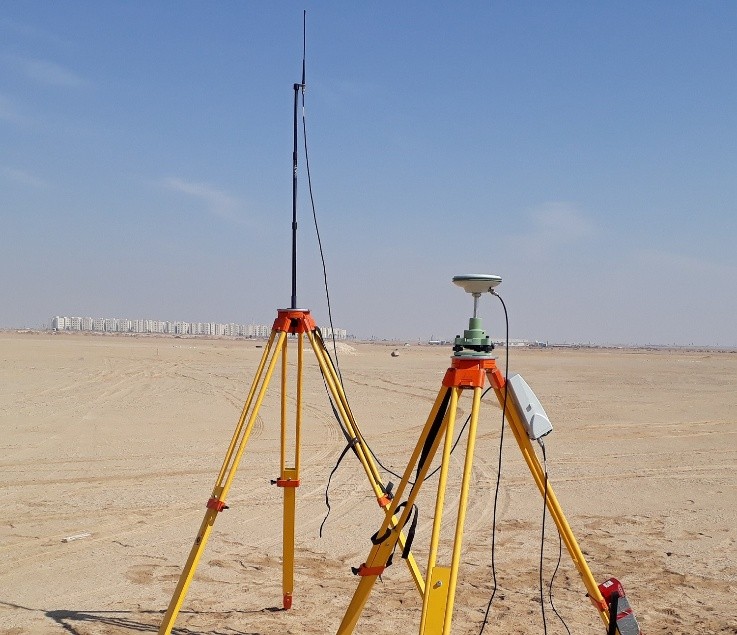
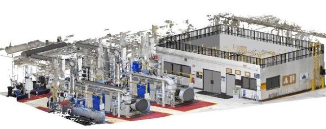
Integrated geospatial services including Topographic Survey and Land Mapping, GIS Mapping and ArcGIS Services, Geophysical Survey (GPR, ERT, VES, TDEM, MASW), Underground Mapping & GPR, MASW Seismic Survey, Bathymetric & Marine Survey, Aerial Survey & Drone Mapping, and 3D Laser Scanning & BIM Model.
Topographic Survey & Land Mapping
GIS Mapping & ArcGIS
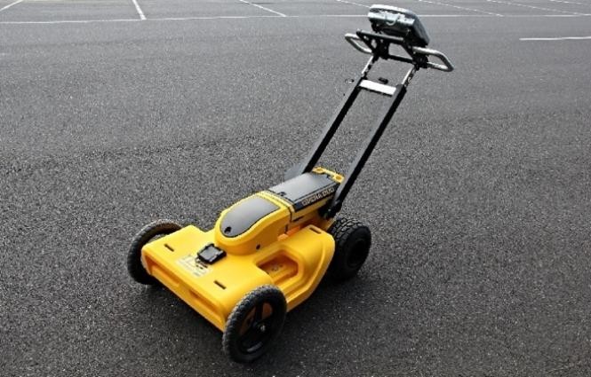
Geophysical Survey
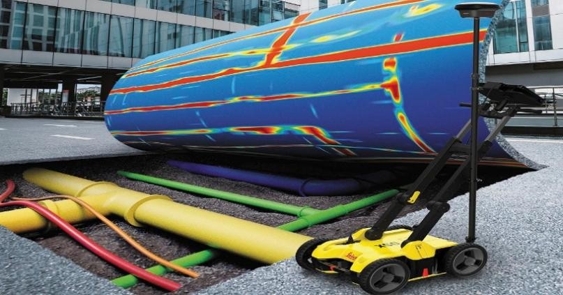
Underground Mapping & GPR
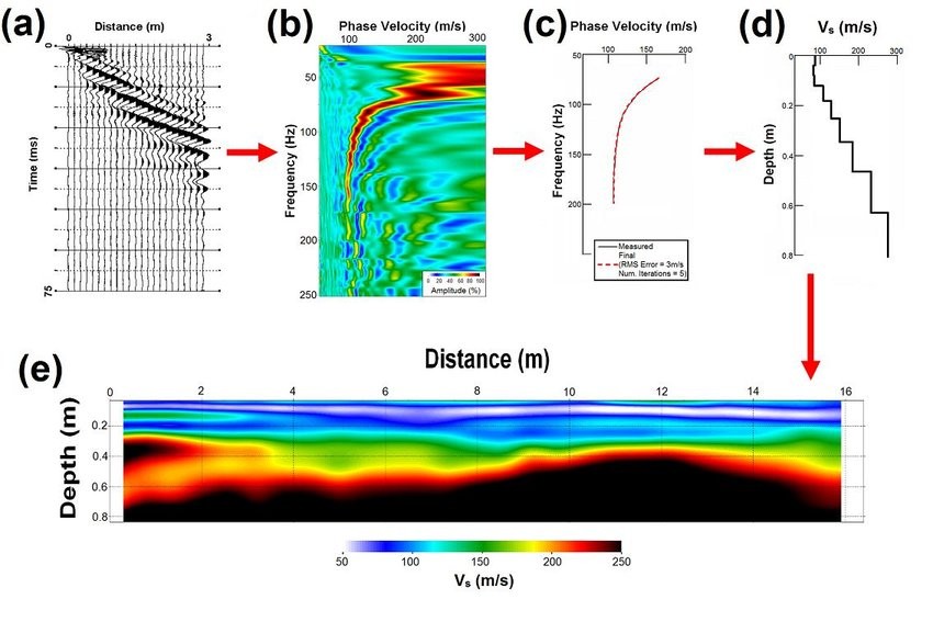
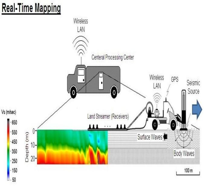
MASW Seismic Survey
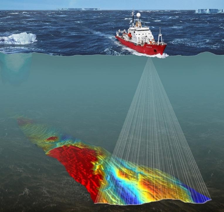
Bathymetric & Marine Survey
Aerial Survey & Drone Mapping