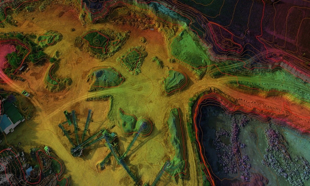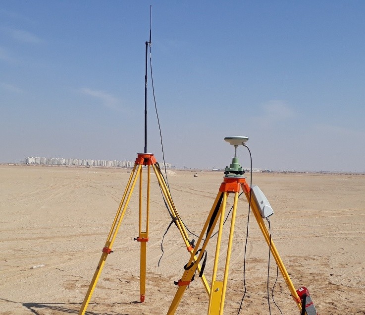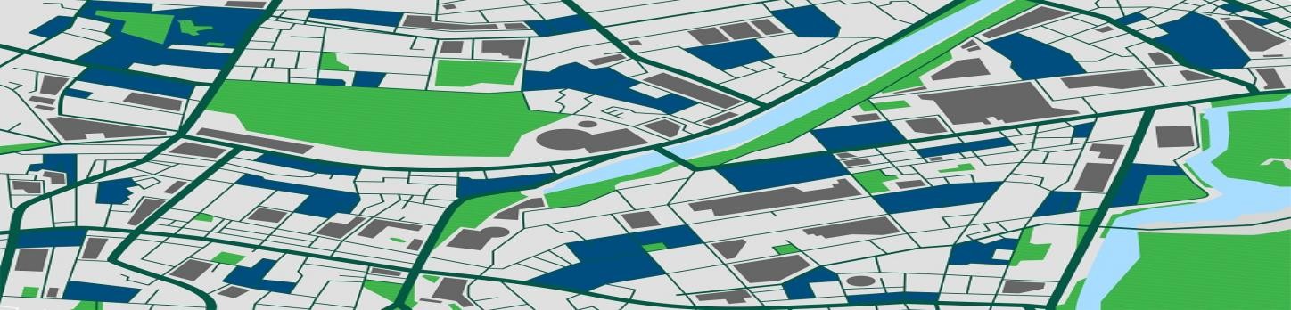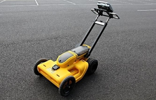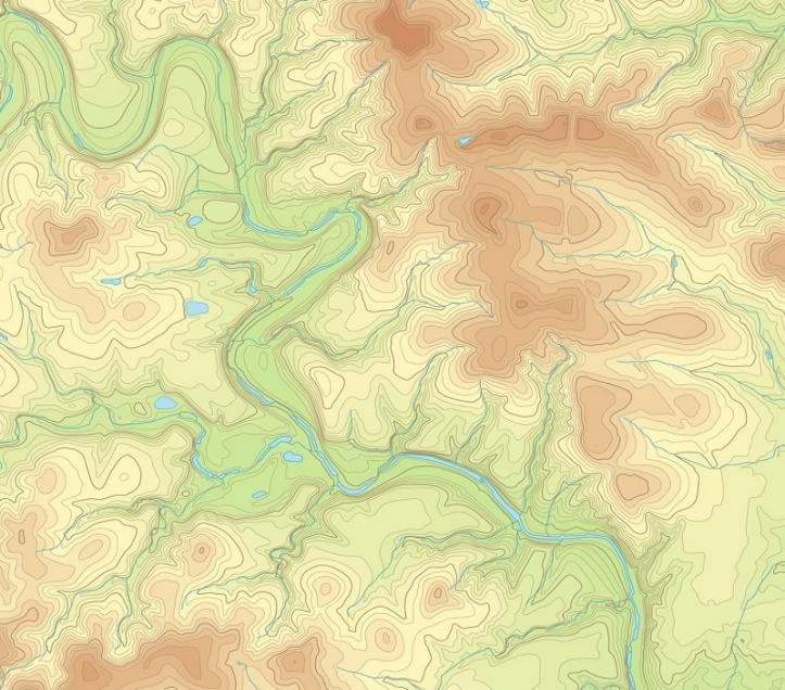
A Topographic Survey maps the contours, relief, roughness, shape, configuration, or three-dimensional characteristics of the surface of the terrain including trees, streets, manholes, utility poles, and more.
There are many types of topographical surveys including pipeline topographic survey, building survey, chemical plant survey, airport topographic survey, roads & highways topographic survey, sea port topographic survey, and more.