

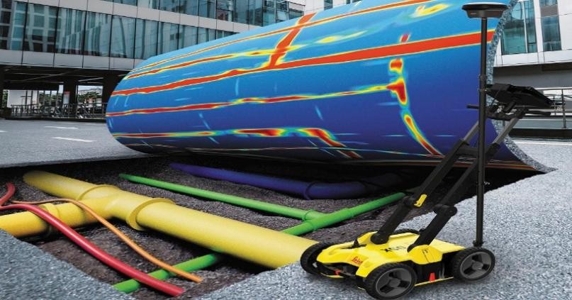
Whether you are looking to locate existing underground utilities detection, pipes, and cables, or want to plan the safe placement of new infrastructure, we offer pipe & cable locating, Concrete Slab Scanning, Cavity Grouting, and Ground Penetrating Radar Survey services in accordance with international and Kingdom Saudi Arabia standards, Standard Code ASTM D-6432.
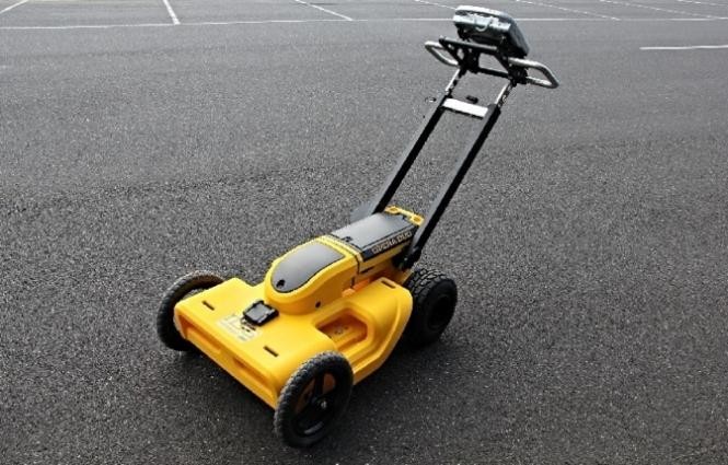
Service
Underground Mapping & GPR
Utility detection, concrete scanning, cavity detection, and GPR survey services.
Related Services
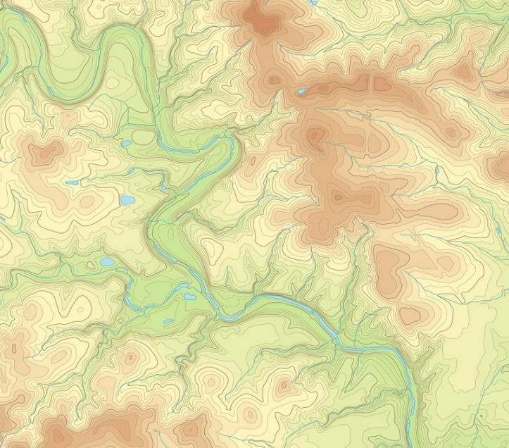
Topographic Survey & Land Mapping
Topographic surveys mapping terrain contours, utilities, and site characteristics.
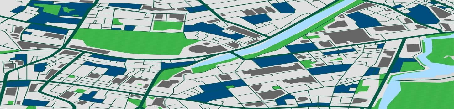
GIS Mapping & ArcGIS
GIS mapping, ArcGIS services, remote sensing, and data conversion.
Geophysical Survey
GPR, ERT, VES, TDEM, MASW, and seismic reflection and refraction surveys.
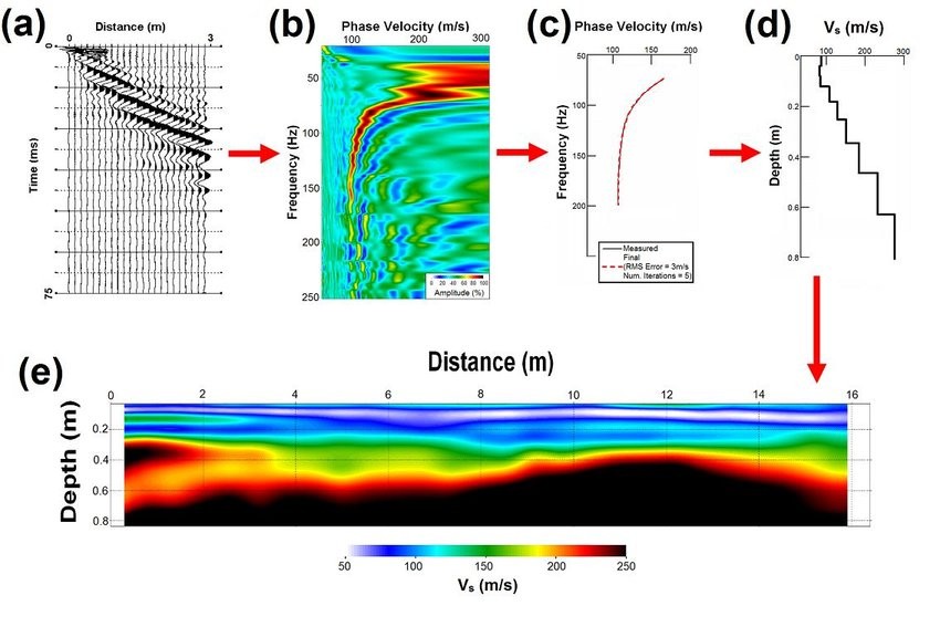
MASW Seismic Survey
Multi-channel analysis of surface waves for subsurface shear wave velocity profiling.