

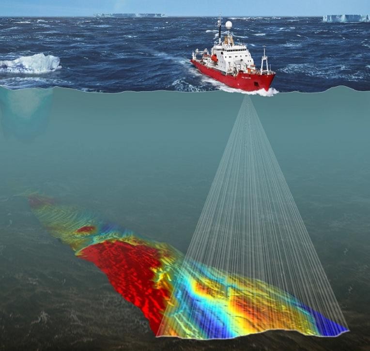
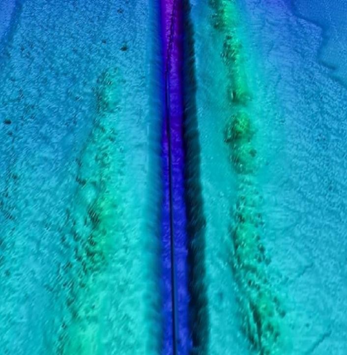
Our fast and accurate marine survey services assist in determining depth and bottom conditions. Services include Bathymetric Survey, Hydrographic survey, Dredging Survey, Meteorological, Oceanographic, Marine Geophysical Survey, and environmental baseline studies delivered to requested scale design requirements in the Kingdom of Saudi Arabia.
Service
Bathymetric & Marine Survey
Bathymetric, hydrographic, dredging, and marine geophysical survey services.
Related Services
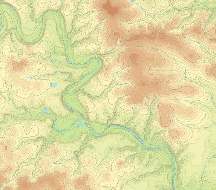
Topographic Survey & Land Mapping
Topographic surveys mapping terrain contours, utilities, and site characteristics.
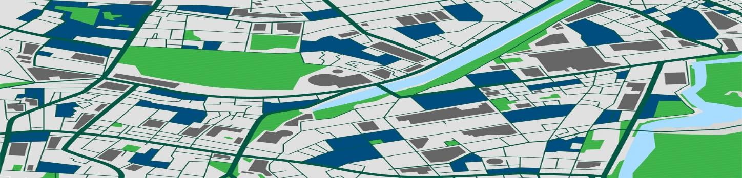
GIS Mapping & ArcGIS
GIS mapping, ArcGIS services, remote sensing, and data conversion.
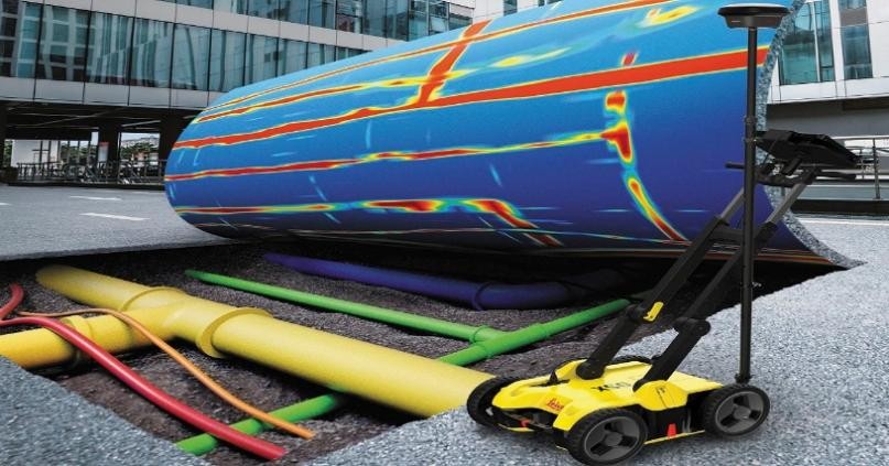
Geophysical Survey
GPR, ERT, VES, TDEM, MASW, and seismic reflection and refraction surveys.
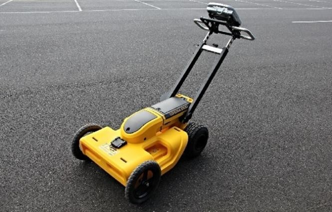
Underground Mapping & GPR
Utility detection, concrete scanning, cavity detection, and GPR survey services.