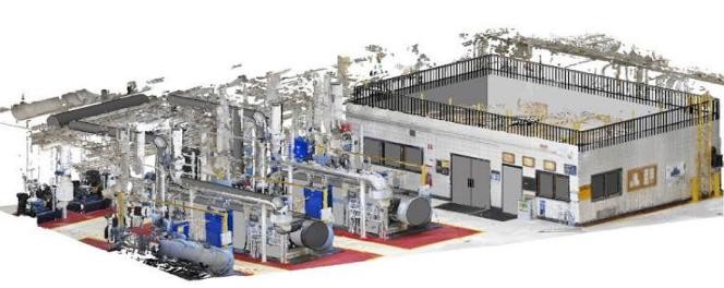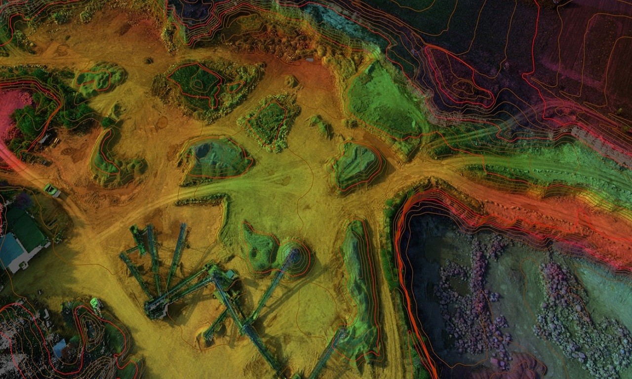
Professional Aerial Survey and Drone Mapping Services all over the Kingdom of Saudi Arabia specializing in DTM editing, topographic mapping, point cloud classification, orthophoto production, and data processing.
Drone photogrammetry produces orthophoto maps, 3D models, or topographical maps adapted to terrains that are difficult or hard to reach.