

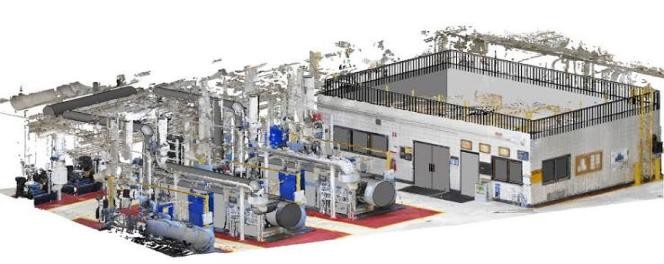
3D Laser scanning is a very powerful 3D imaging tool that produces a 360-degree scan image with millions of 3d points forming a point cloud. Once captured, 3D BIM modeling and meshing can be performed or extracted from the cloud.
Service
3D Laser Scanning & BIM
Full 3D laser capture and BIM modeling from dense point clouds.
Related Services
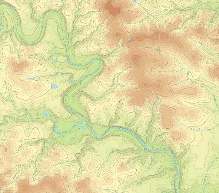
Topographic Survey & Land Mapping
Topographic surveys mapping terrain contours, utilities, and site characteristics.
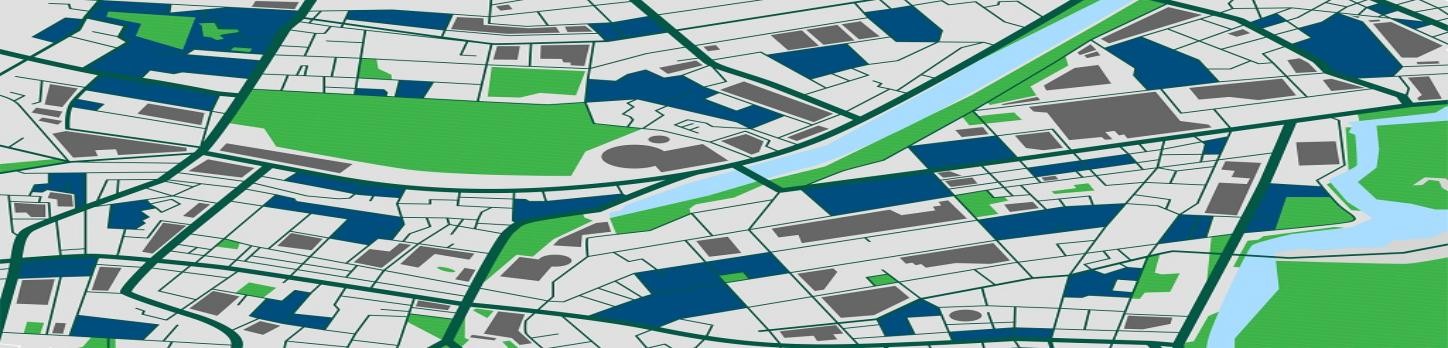
GIS Mapping & ArcGIS
GIS mapping, ArcGIS services, remote sensing, and data conversion.
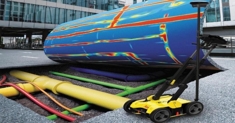
Geophysical Survey
GPR, ERT, VES, TDEM, MASW, and seismic reflection and refraction surveys.
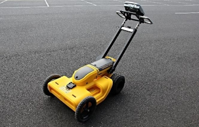
Underground Mapping & GPR
Utility detection, concrete scanning, cavity detection, and GPR survey services.