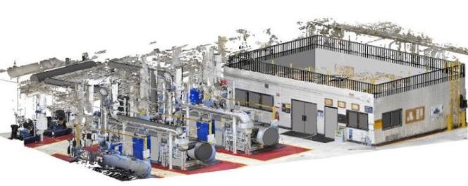
3D Laser Scanning & BIM
Full 3D laser capture and BIM modeling from dense point clouds.
View details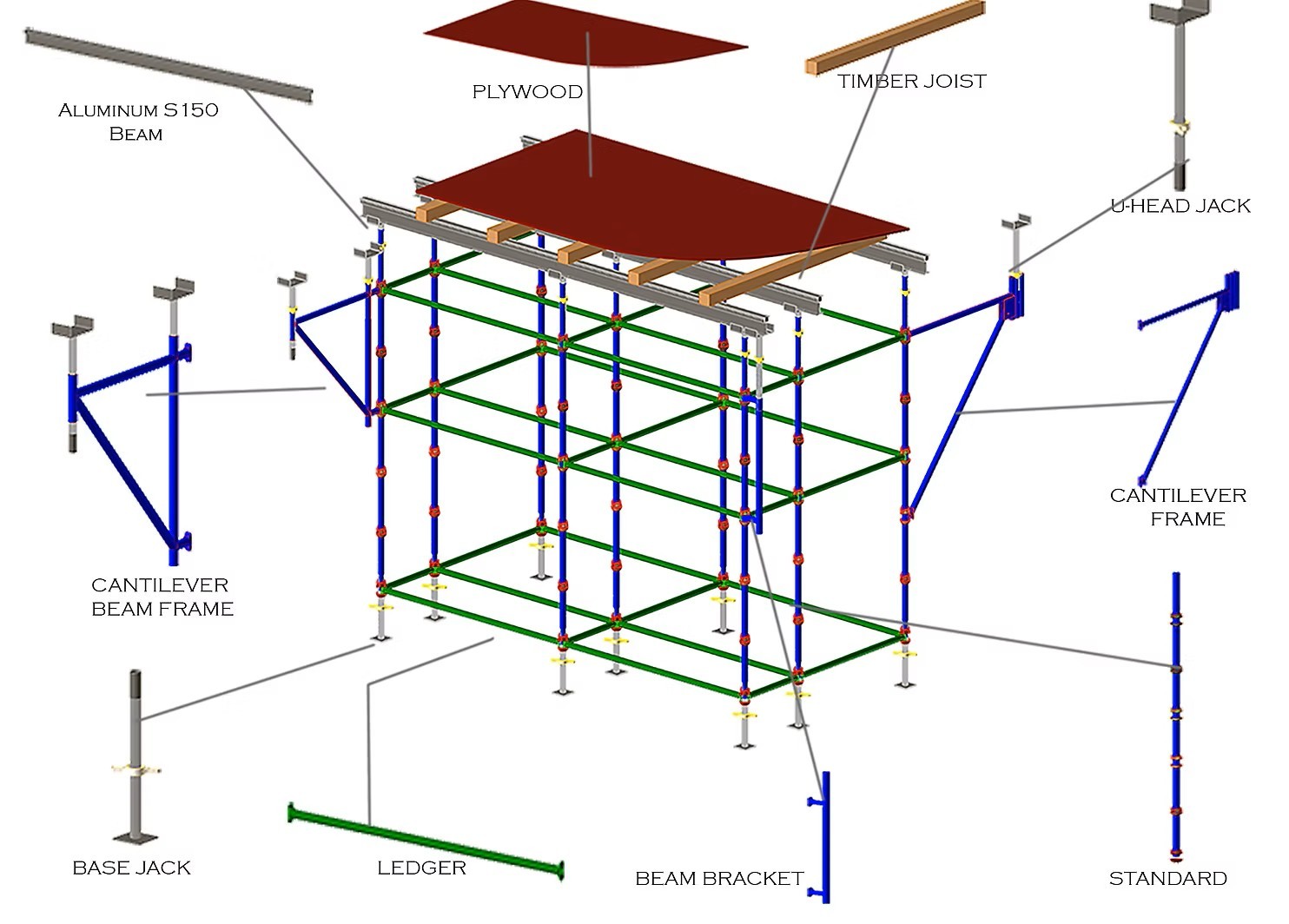
Services
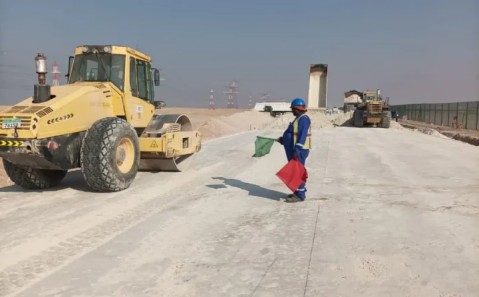
Construction, equipment, manpower, electrical, mechanical, pipeline, HVAC/MEP, geospatial, and specialized industrial services.
Full 3D laser capture and BIM modeling from dense point clouds.
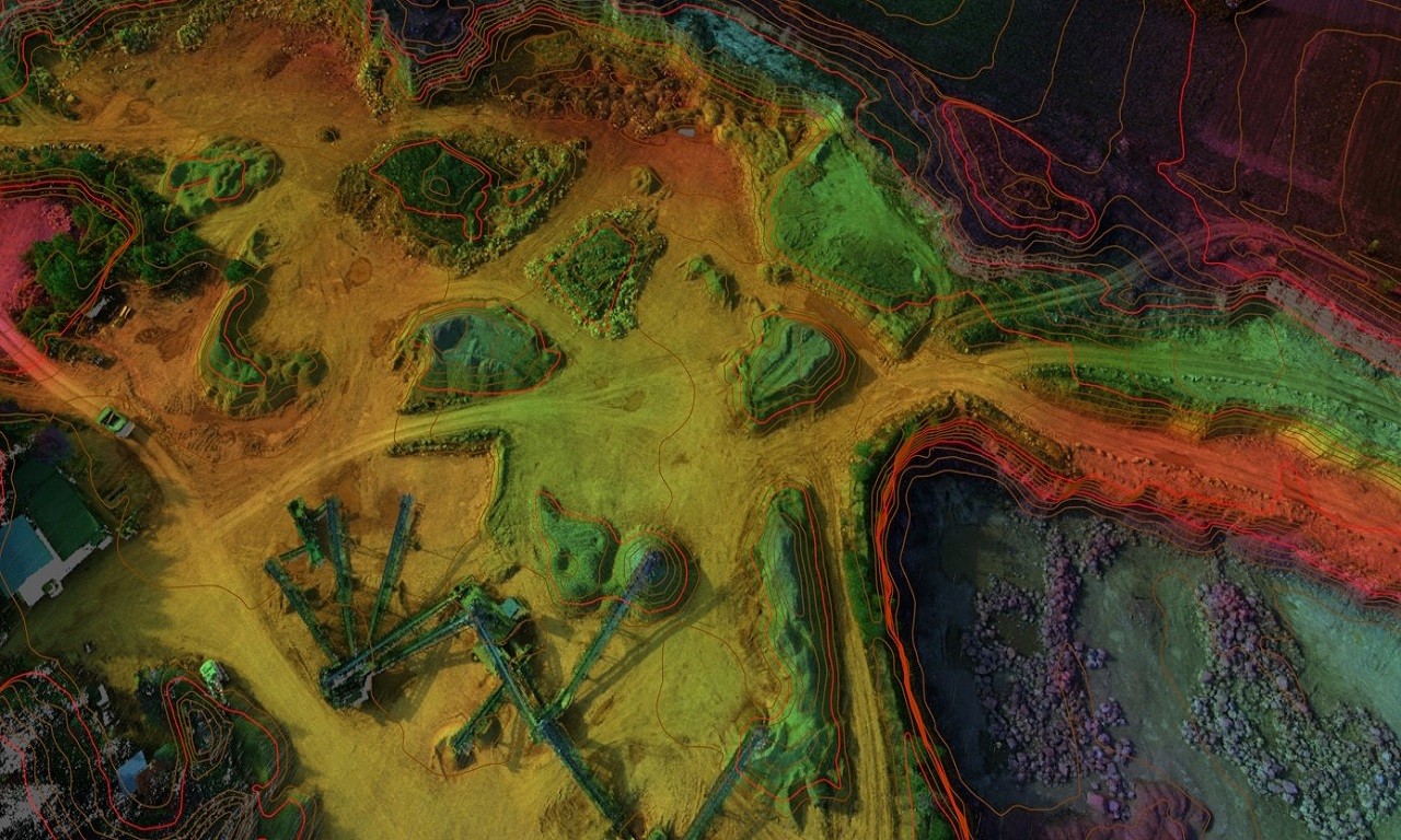
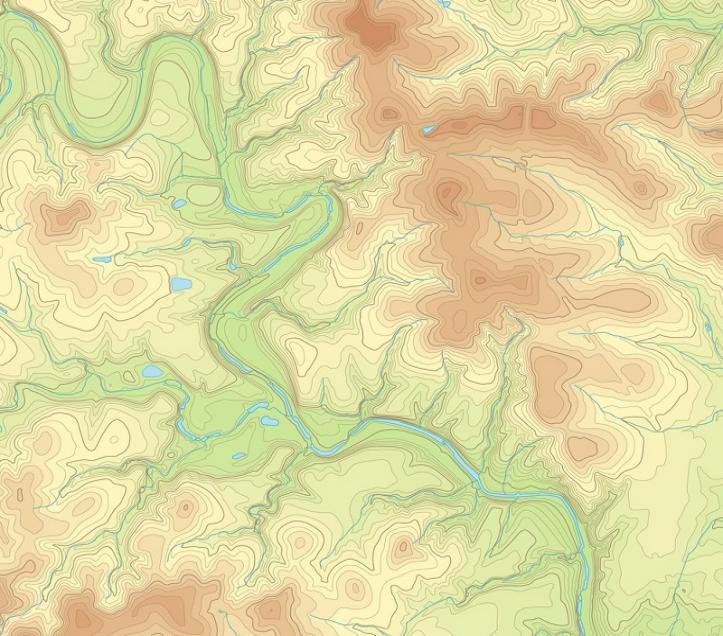
View detailsDTM editing, topographic mapping, orthophoto production, and point cloud classification.
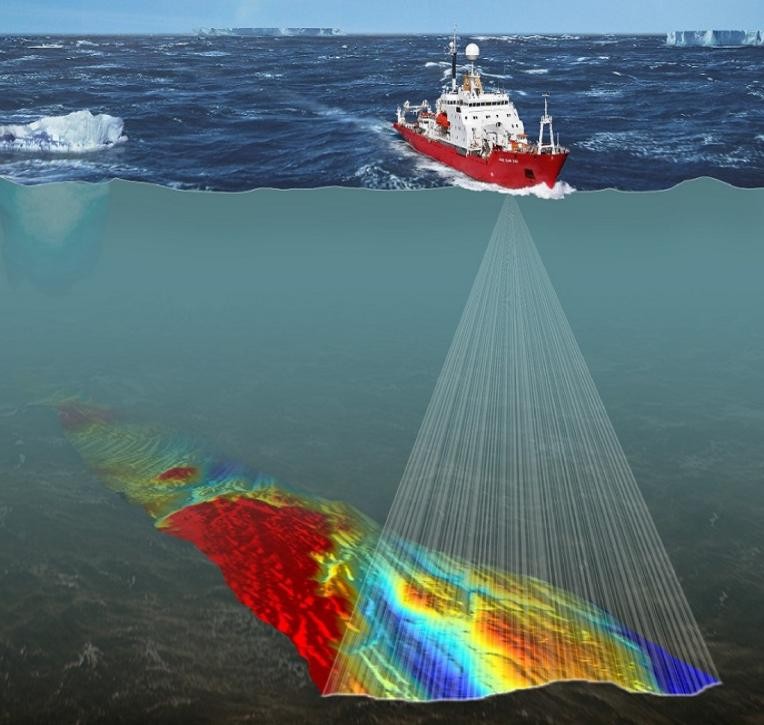
View detailsBathymetric, hydrographic, dredging, and marine geophysical survey services.
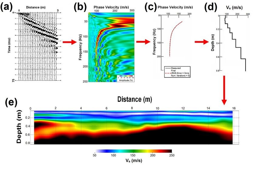
View detailsMulti-channel analysis of surface waves for subsurface shear wave velocity profiling.
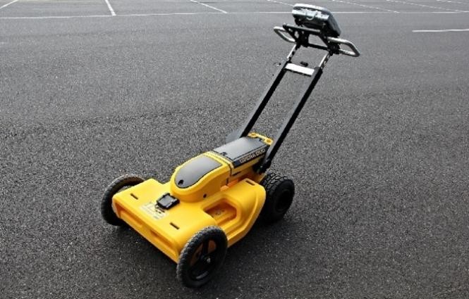
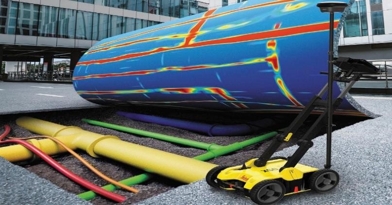
View detailsUtility detection, concrete scanning, cavity detection, and GPR survey services.
View detailsGPR, ERT, VES, TDEM, MASW, and seismic reflection and refraction surveys.
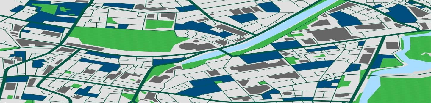
View detailsGIS mapping, ArcGIS services, remote sensing, and data conversion.
View detailsTopographic surveys mapping terrain contours, utilities, and site characteristics.
View detailsType 2/3/4/5 Aramco and HCIS fences, gates, and fixed or hydraulic bollards.
View detailsSNF-lock, table form, tripod prop, modular, MaxiPan, climbing and one-side formwork systems.
View details